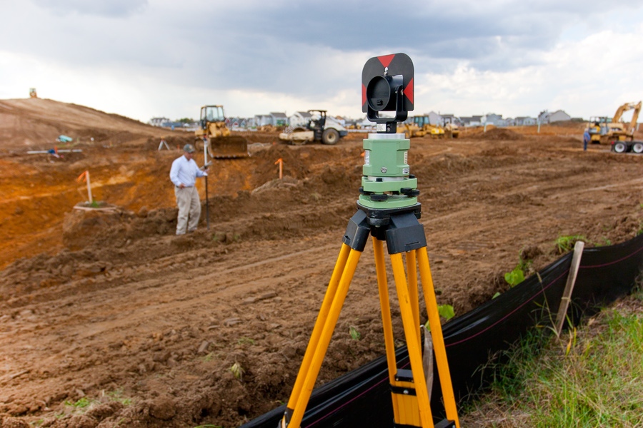
Surveying or land surveying is the technique, profession, and science of determining the terrestrial or three-dimensional positions of points and the distances and angles between them. These points are usually on the surface of the Earth, and they are often used to establish maps and boundaries for ownership, locations, such as building corners or the surface location of subsurface features, or other purposes required by government or civil law, such as property sales. The information retrieved can be mapped to Geographic Information Systems (GIS) software to perform further geographic analysis of the surveyed area. The surveyors use the results to advise governments and businesses on where to plan homes, roads, and landfills.